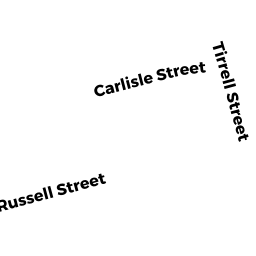
71 CARLISLE ST
Owner Information
ZHANG JUE
386 LOWELL ST
ANDOVER, MA 01810


Property Details
71 CARLISLE ST is classified as a Single Family Residential (Conventional).
The primary structure on this property was built in 1940. There are 3,424ft2 of built area within this property. There is 1,320ft2 of residential/living space within this property. This property is listed as having 6 rooms.
71 CARLISLE ST is valued at $465,400. The land is valued at $270,700 and the structures are valued at $182,600. There is an additional valuation of $12,100 on this property.
This property is in Zone RES B. Confirm with local Zoning Board authorities to ensure there are no overlays or other easements on this property.
The most recent deed for 71 CARLISLE ST is recorded at the local registrar in Book 36757, Page 174. 71 CARLISLE ST was last sold on Monday, April 29, 2019 for $425,000.
Assessment data from fiscal year 2020.
Flood Data
This property is partially within the AE Zone (within floodplain). Approximately 0.11 acres (79.89%) of the property is within this zone.
The base flood elevation for this flood zone is 10 feet.
This information is sourced from the FEMA National Flood Hazard Layer. See our full disclamer.
Broadband Internet Providers
| Provider | Type | Bandwidth (mbps) | |
|---|---|---|---|
| Viasat Inc | Satellite | 100 | 3 |
| Starry, Inc. | Fixed Wireless | 200 | 200 |
| T-Mobile | Fixed Wireless | 25 | 3 |
| GCI Communication Corp. | Satellite | 0 | 0 |
| HughesNet | Satellite | 25 | 3 |
| VSAT Systems, LLC. | Satellite | 2 | 1 |
| Comcast | Cable | 1000 | 35 |
| Verizon New England Inc. | DSL | 10 | 1 |
Broadband service provider data from December 2020.
Adjacent Properties
- 79 CARLISLE ST
Single Family Residential owned by FOLEY SHEILA L TREE - 59 CARLISLE ST
Other, Open Space owned by 57-61 CARLISLE STREET - 61 CARLISLE ST
Condo owned by LE MINH - 57 CARLISLE ST
Condo owned by LE MINH H - 59 CARLISLE ST
Condo owned by YU JIN L - 68 RUSSELL ST
Single Family Residential owned by PINKHAM JAMES C TRS - 72 RUSSELL ST
Single Family Residential owned by LYNCH PATRICK J - 76 RUSSELL ST
Single Family Residential owned by MCINTOSH LAURENCE P